The technologies and types of surveys are numerous and can be classified into two categories:
Interior surveys, facades, infrastructure management.
Industrial surveys
Inspection of Structures
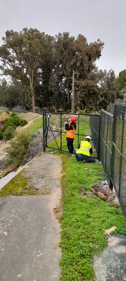
Civil infrastructure
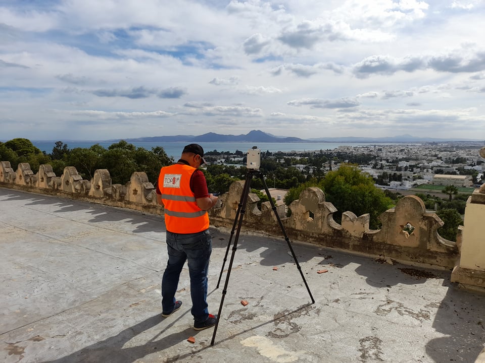
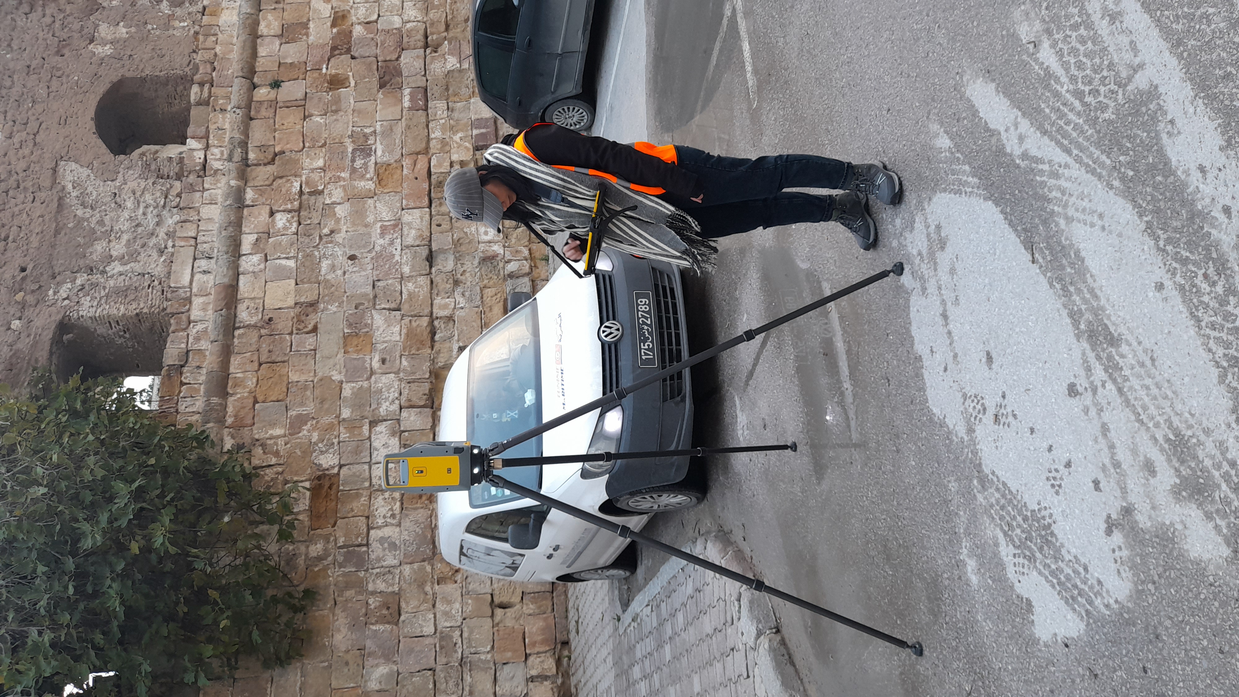
Topographic surveys and general topography
Public networks and maritime construction
Criminalistics
Tank Inspection
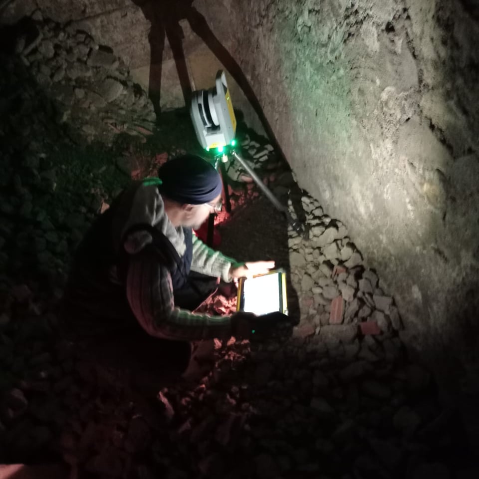
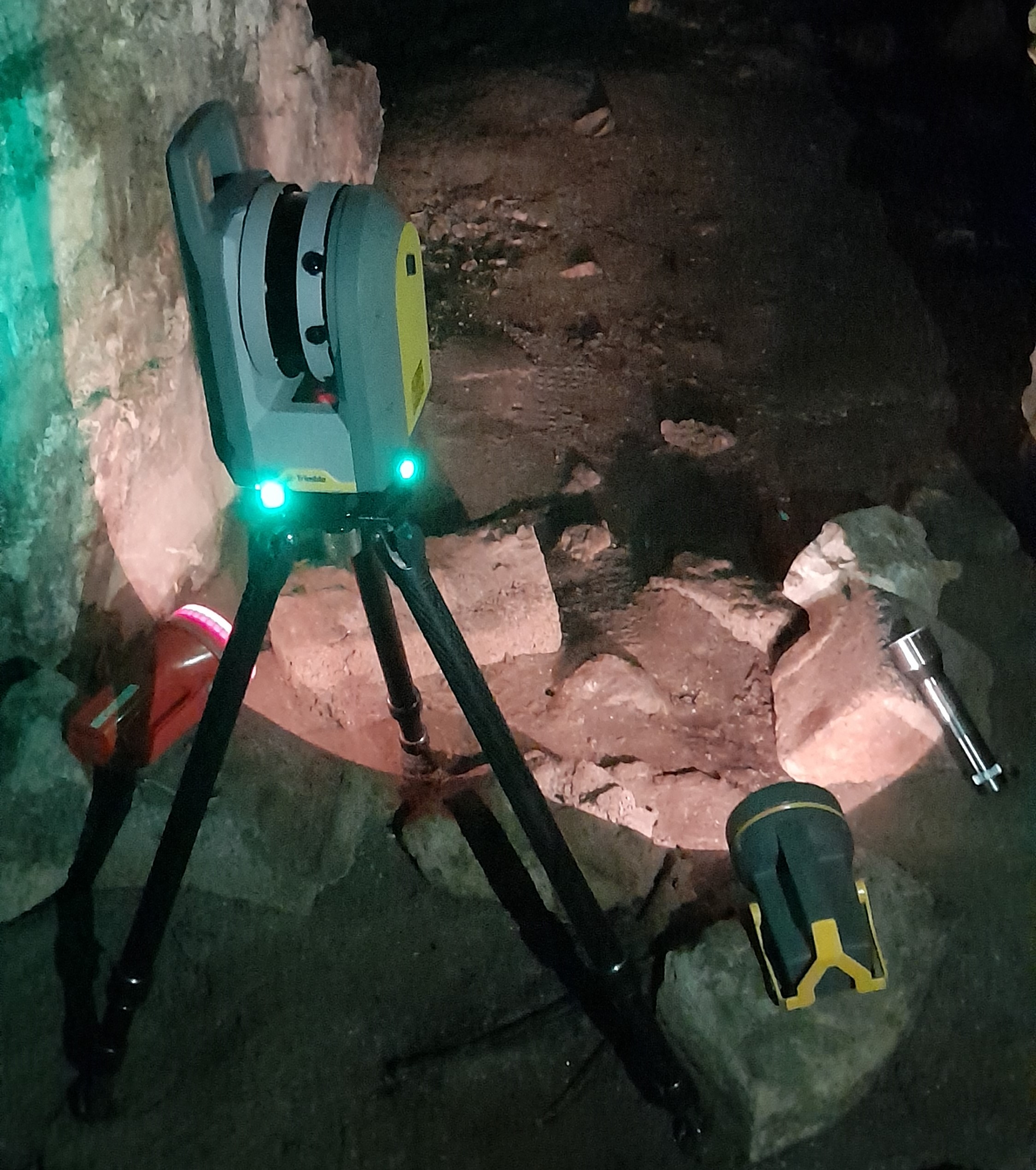
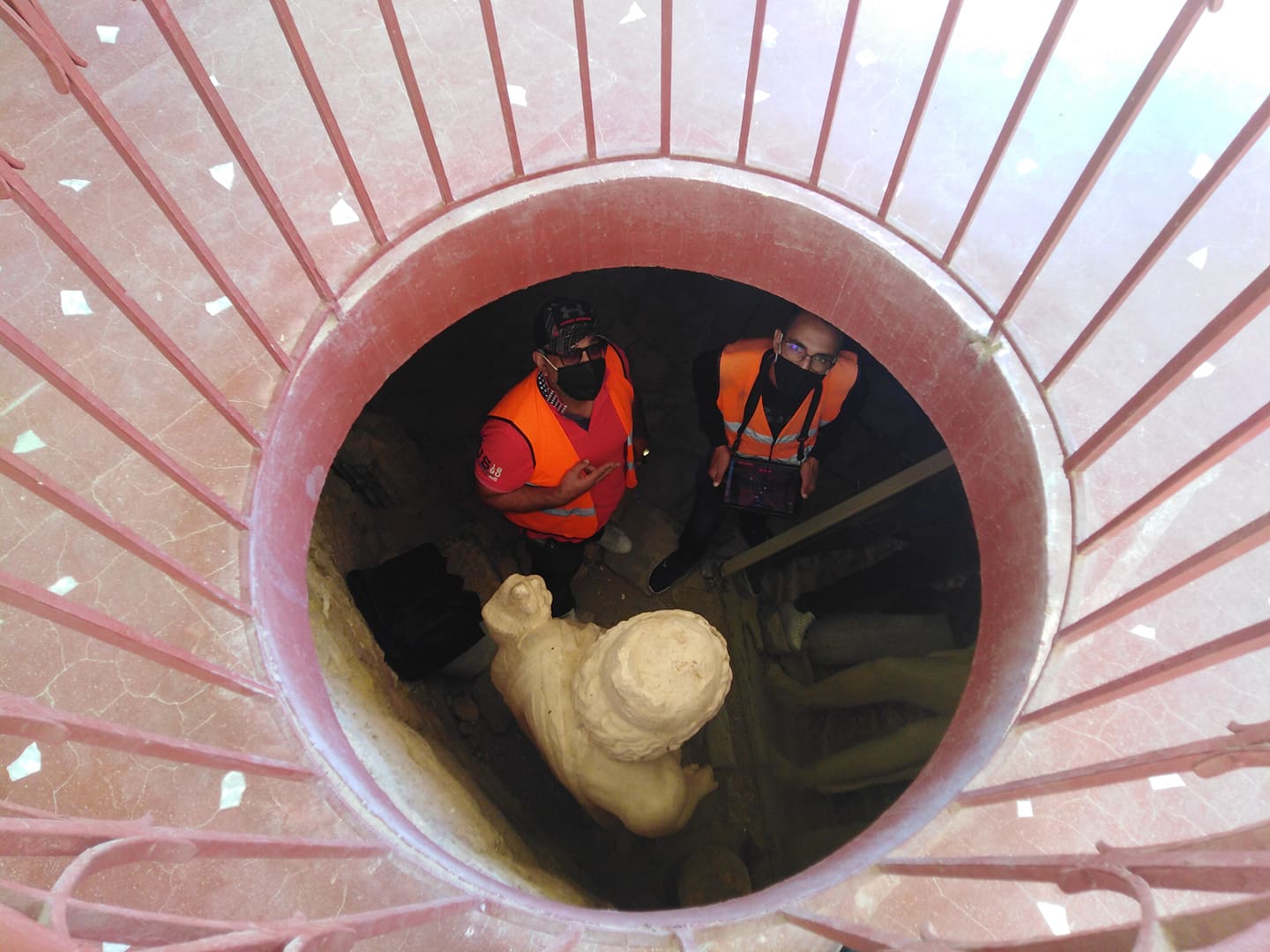
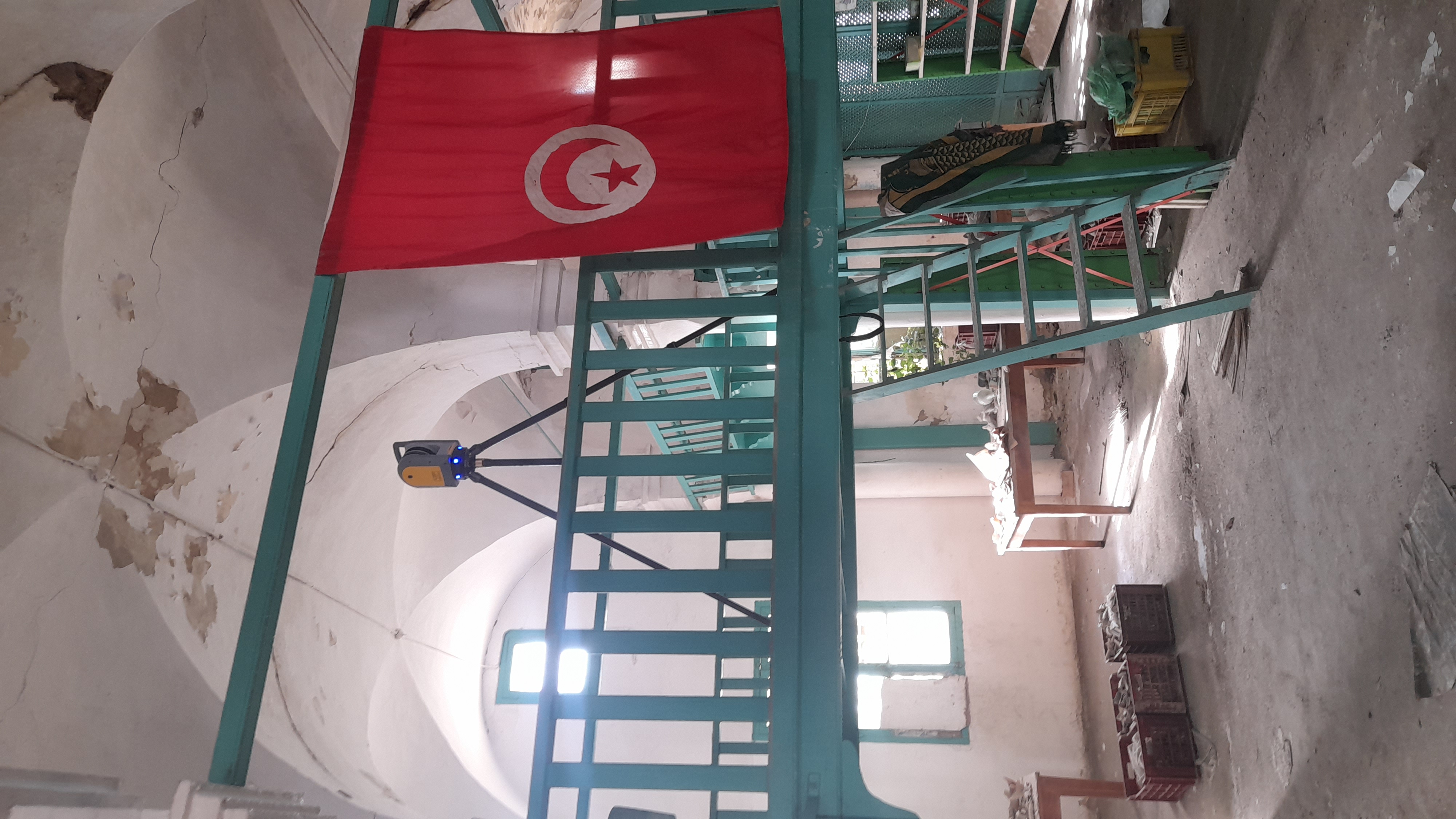
Cultural Heritage
Mining
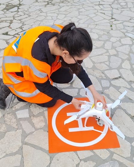
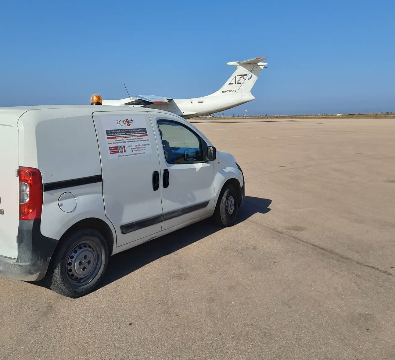
Aerial shooting, (Airplane / Drone).
Airborne Lidar
Acquisition of Satellite images with our Partner European Space Imaging
3D survey of the Carthage Museum
3D survey of KARRAKA-KRAM
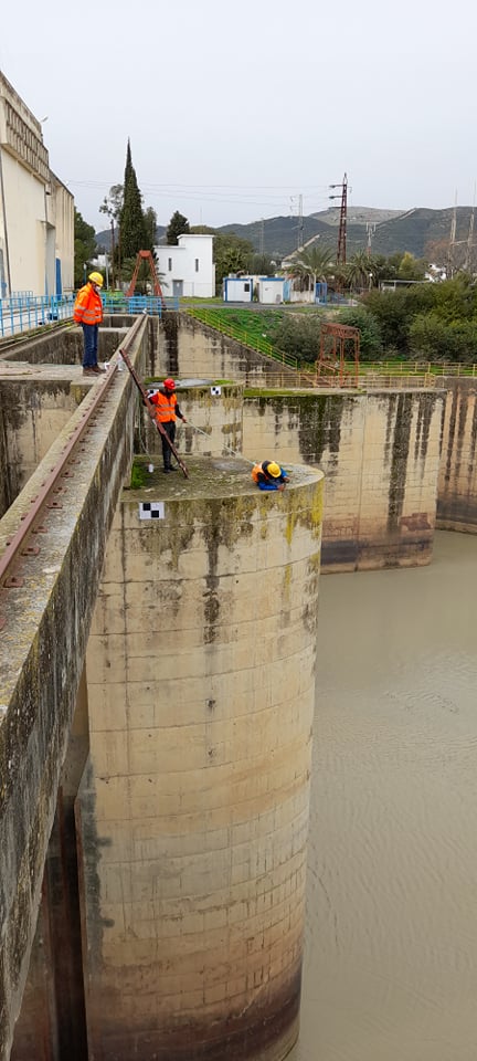
Oued MEJRDA, LAROUSSA Dam