SOCIÉTÉ de TOPOGRAPHIE, CARTOGRAPHIE et BAYTHMÉTRIE
TOPOGRAPHY
General topography, topometry.
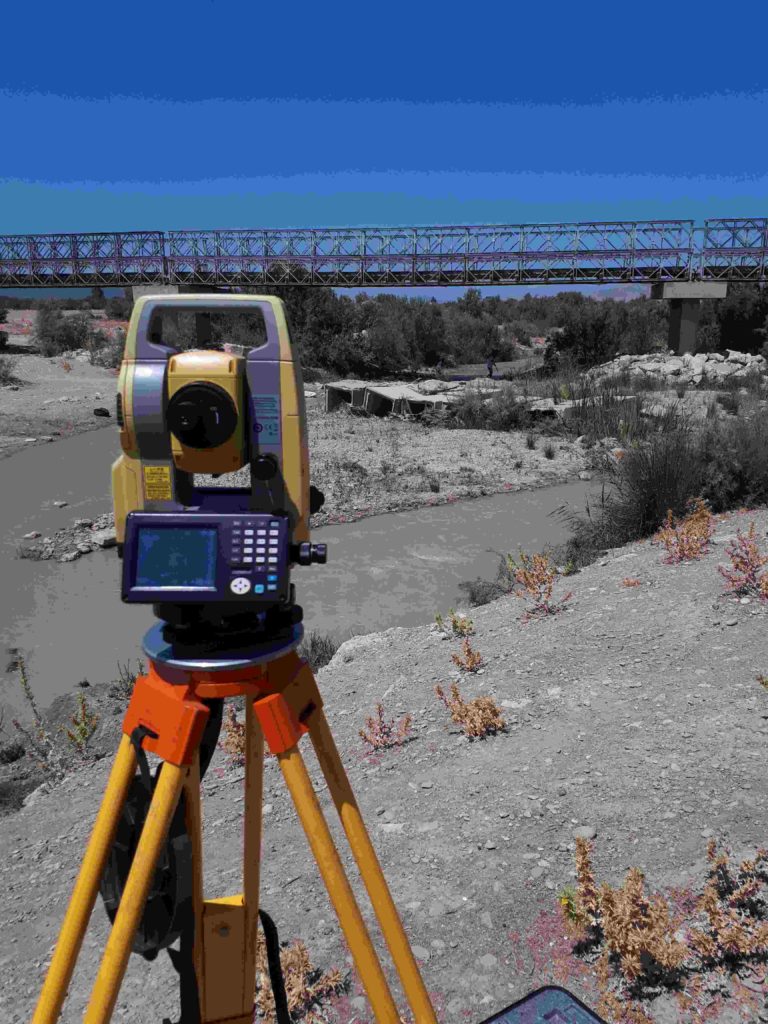
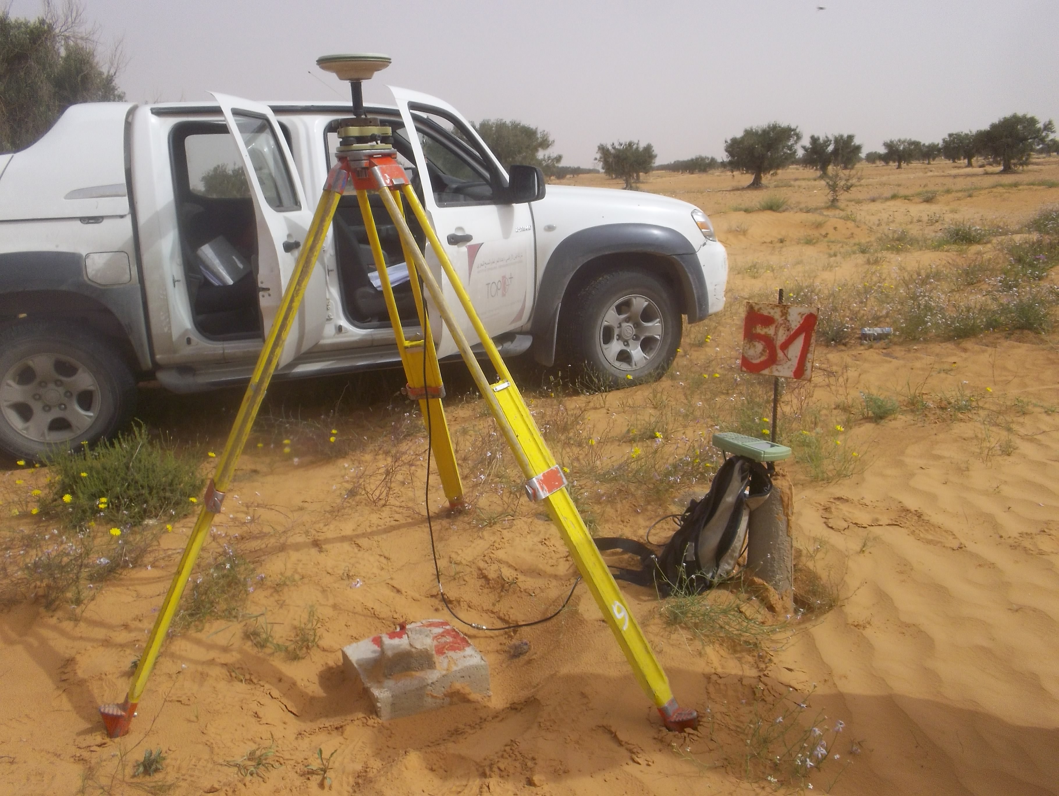
Geodesy, levelling and DGPS positioning.
Vertical co-ownership (building) and horizontal co-ownership (subdivision). (lotissement au sol).
Land expertise.
Advice, land and cadastral study.
Bollard restoration, layout, inspection and testing.
TOPOGRAPHY
Topographic plans
Mass plans
Interior plans
Division plans
LAND
Land division
Subdivision
Boundary
Expertise & Advice
TOPOMETRY
Leveling
Positioning by GPS
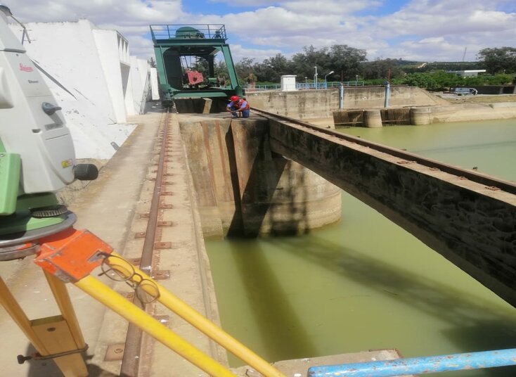
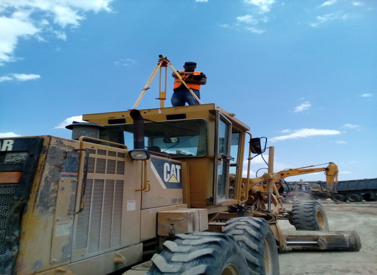
Auscultation & Control
REAL ESTATE
Vertical co-ownership
Horizontal co-ownership
Division into volumes
References Topographic Projects
2021:HYDROKAST Auscultation Barrge Laarousia Scan 3D
2020 :EXPERTISE France Topographic Survey and 3D Scan – Carthage & Acropoluim Museum
2018 :STUDI Topographic survey of the T1 Sfax tramway
2016 :ETEP Topographic works on the Mednine Ras Jdir Highway (20 km)
2014 :SCET TunisiaCarrying out topographical surveys relating to the study of development and asphalting works on the INONI – MBE – NGABE road in CONGO BRAZZAVILLE (Linear 80 Km).
2012 : INGECOTEC Topographic Works for the study of the North South penetrant in Sfax (45 km).