Acquisition of SAT Images with Our Partner EUROPEAN SPACE IMAGING Processing & exploitation of SAT images
Stereo preparation Aerotriangulation 3D restitutionMNT & Ortho rectification
Acquisition Digitization of MNT & Ortho rectification plans 3D imaging
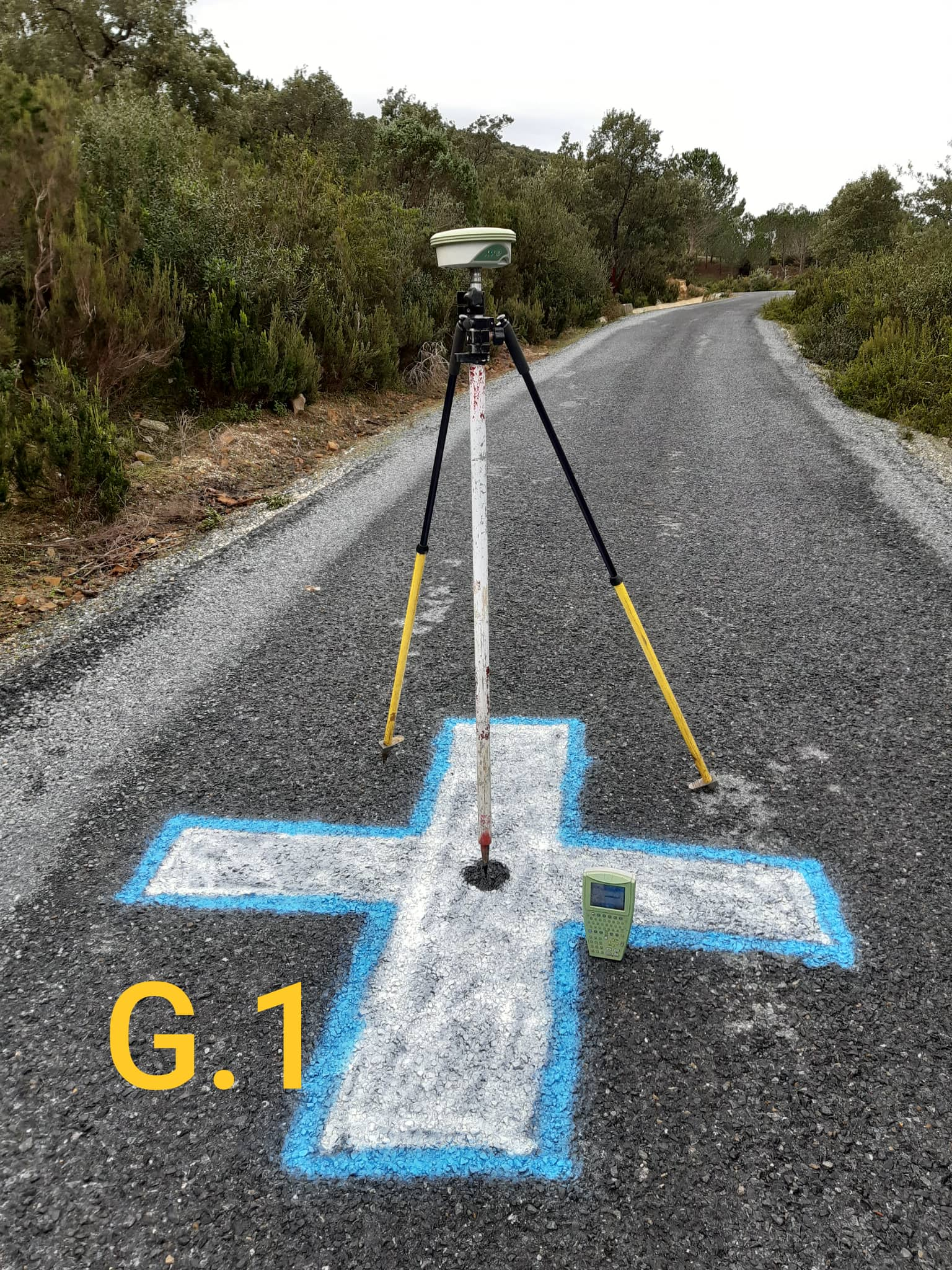
3D ScanMeasurements and Processing of Point Clouds. Digitization
2020 – 2021 :Realization of Photogrammetry projects by PVA:Realization of the KEF Motorway (STUDI) and Mapping of the municipality of NABEUL.
2018 – 2020 :Realization of Photogrammetry projects with Drone:STEG projects (1850 Ha & 2850 Ha)
2017 : The Urban Planning Department (MEHAT) Digital mapping of 20 cities at 1/2000 & 1/5000 (20,000 Ha).
2015 :The Department of Urban Planning (MEHAT)Digital mapping of 12 cities at 1/2000 & 1/5000 (13,500 Ha).
2014 :STUDICarrying out Topographical Works & Digital Mapping for the study of the Tunisia – Algeria motorway section (Linear 100 Km).